  |
The Scottish HighlandsBeinne Eighe
|
  |
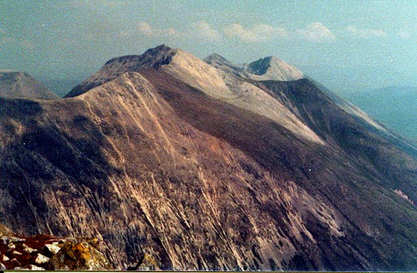
Beinn
Eighe summit ridge from Liathach Beinn Eighe has a long summit ridge with many spurs and summits, two of which are Munros. The
full traverse of Beinn Eighe includes a series of pinnacles providing good scrambling. |
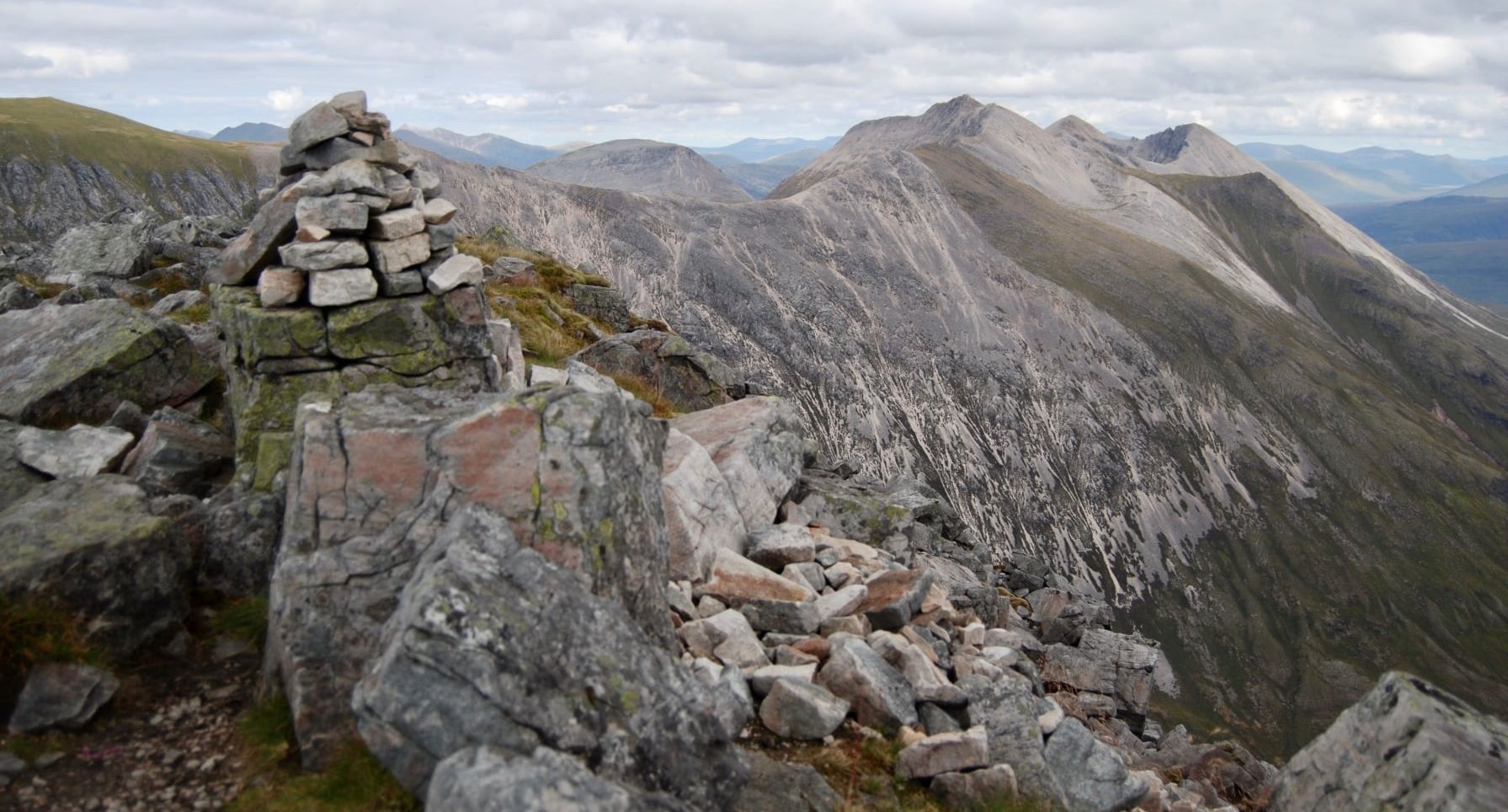
Beinn Eighe summit ridge from Liathach |
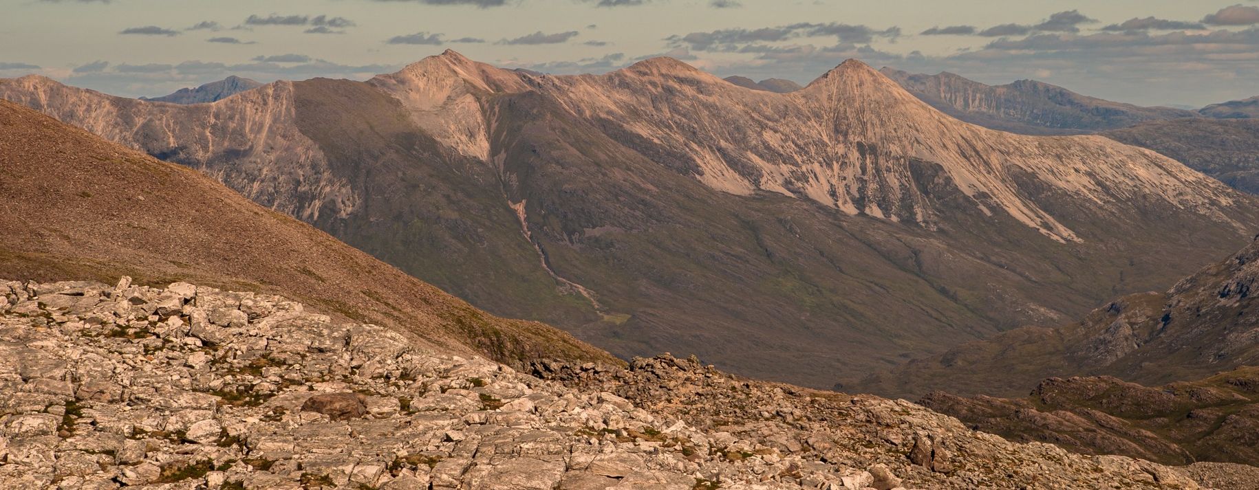
Beinn Eighe summit ridge |
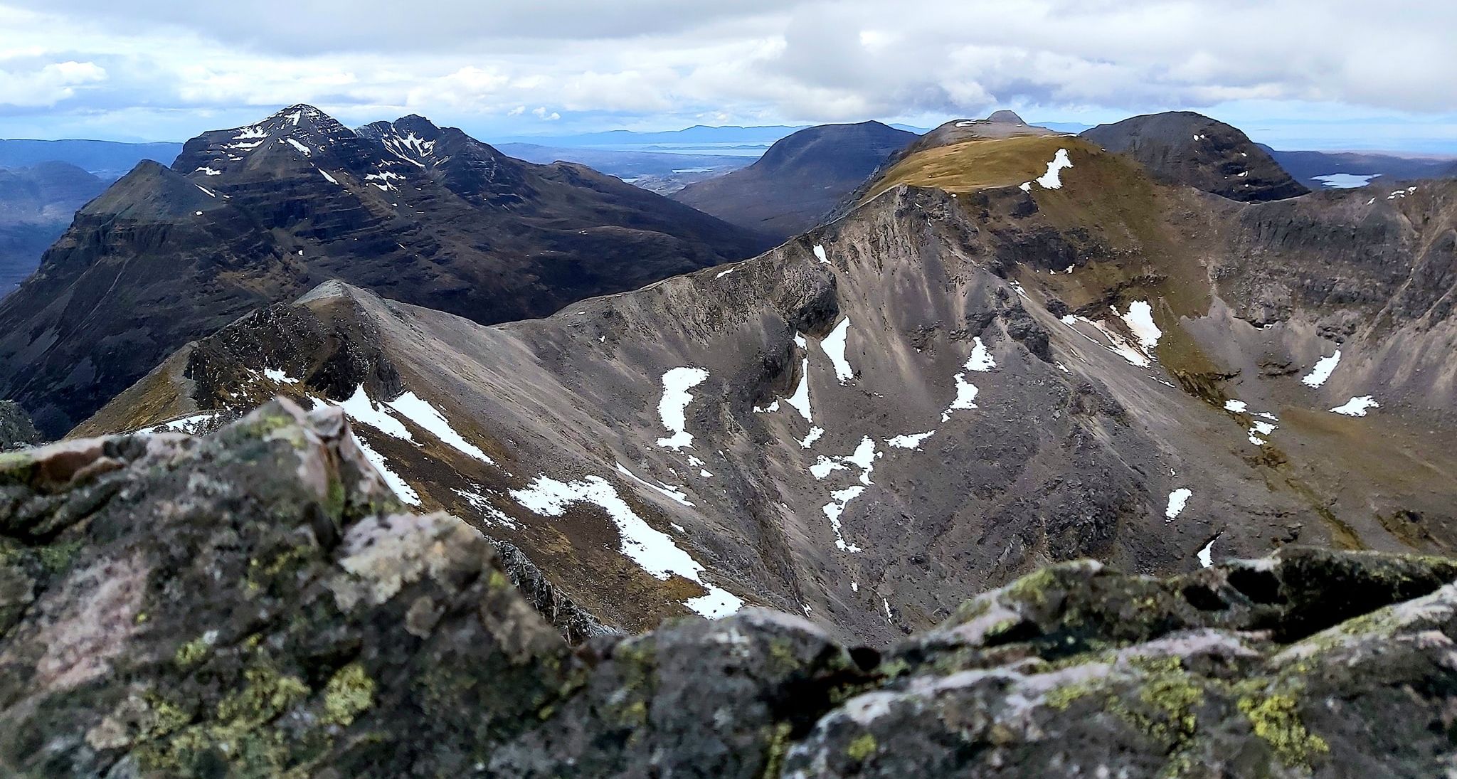
Beinn Eighe summit ridge from Liathach |
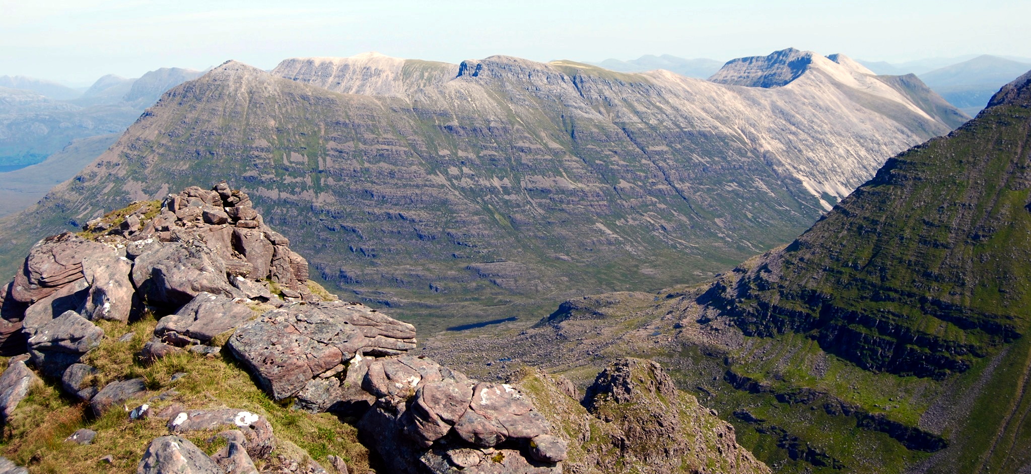
Beinn
Eighe summit ridge from Liathach |
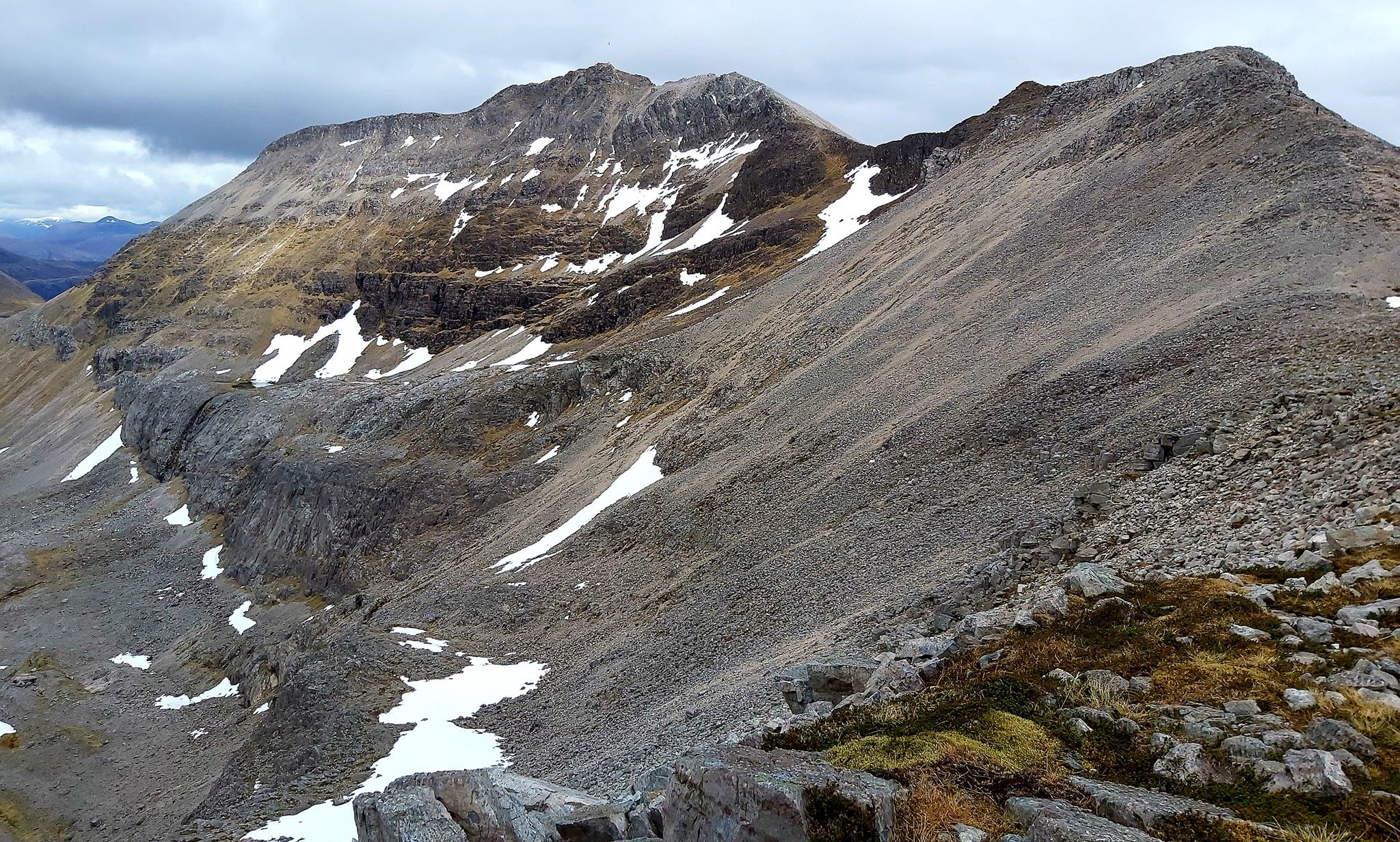
Beinn Eighe summit ridge |
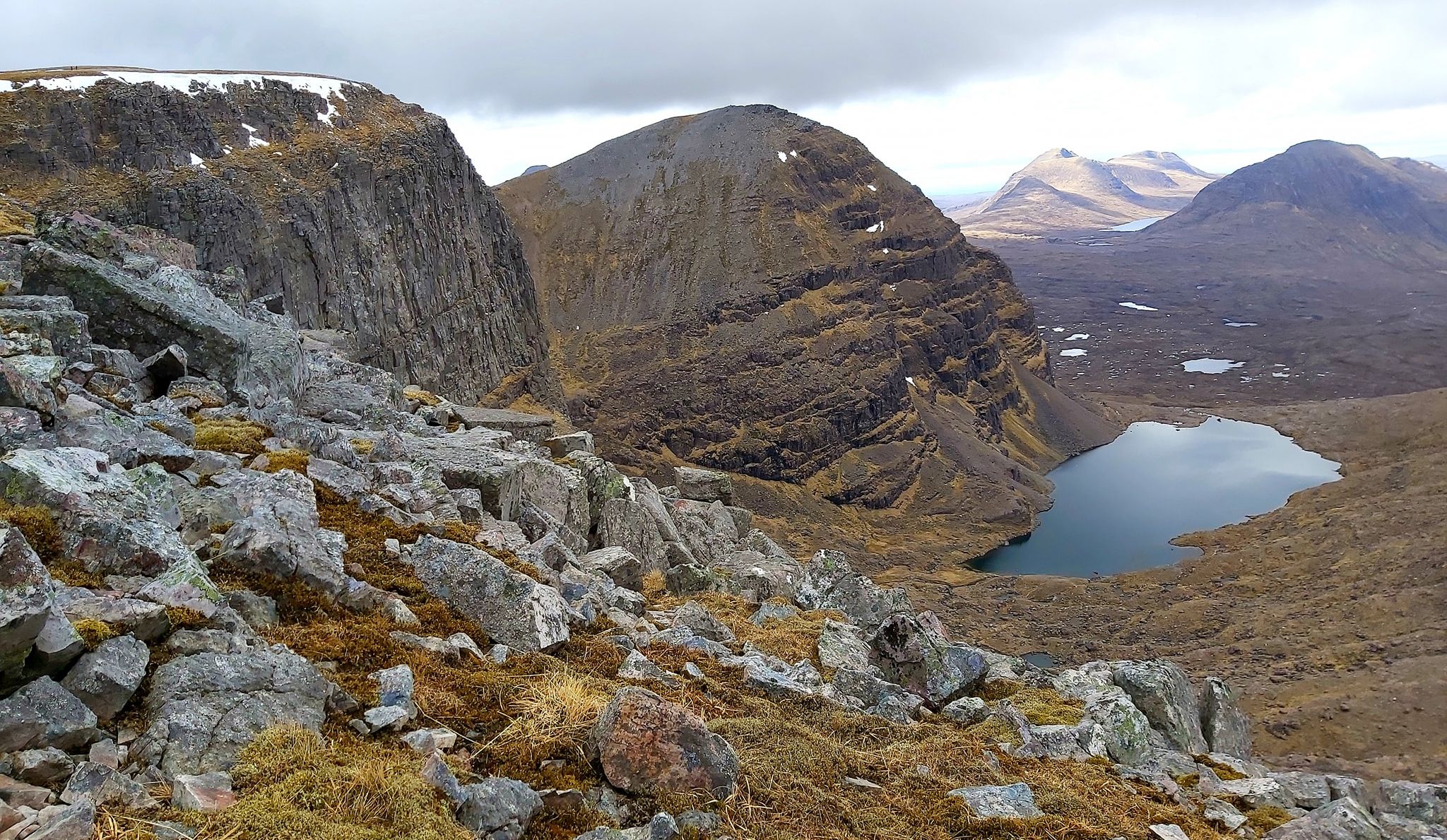
Beinn Eighe summit ridge |
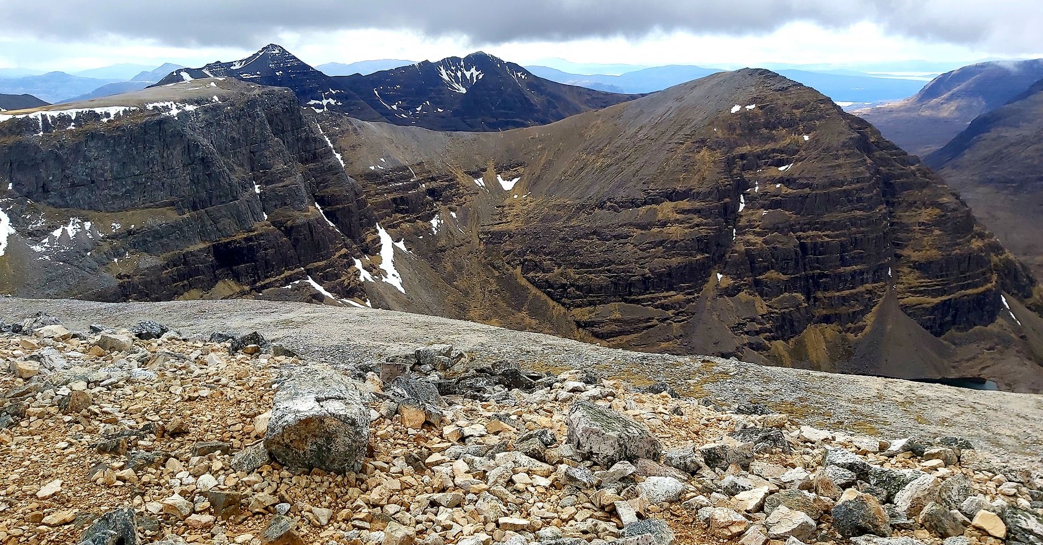
Beinn Eighe summit ridge |
Beinn Eighe summit ridge from Liathach |
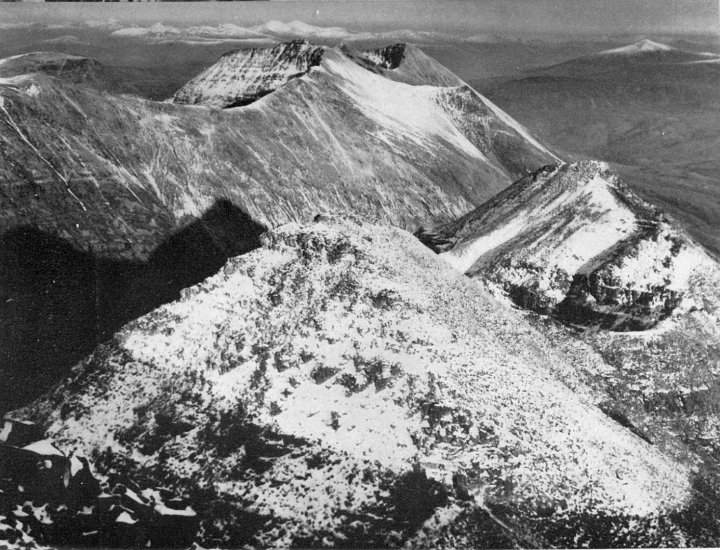
Beinn Eighe summit ridge from Liathach |
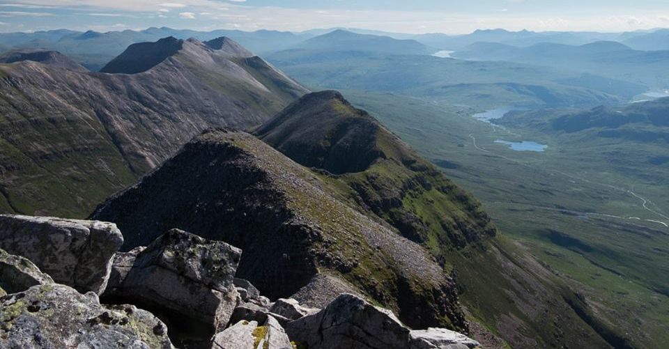
Beinn Eighe summit ridge from Liathach |
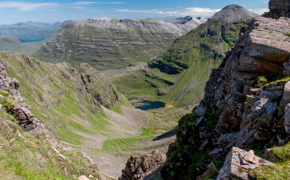
Beinn Eighe summit ridge from Liathach |
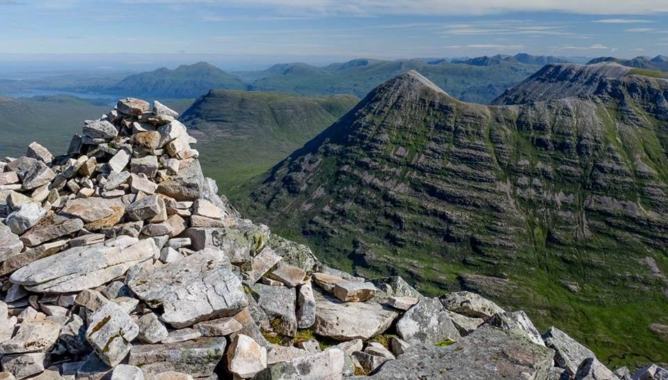
Beinn Eighe summit ridge from Liathach |
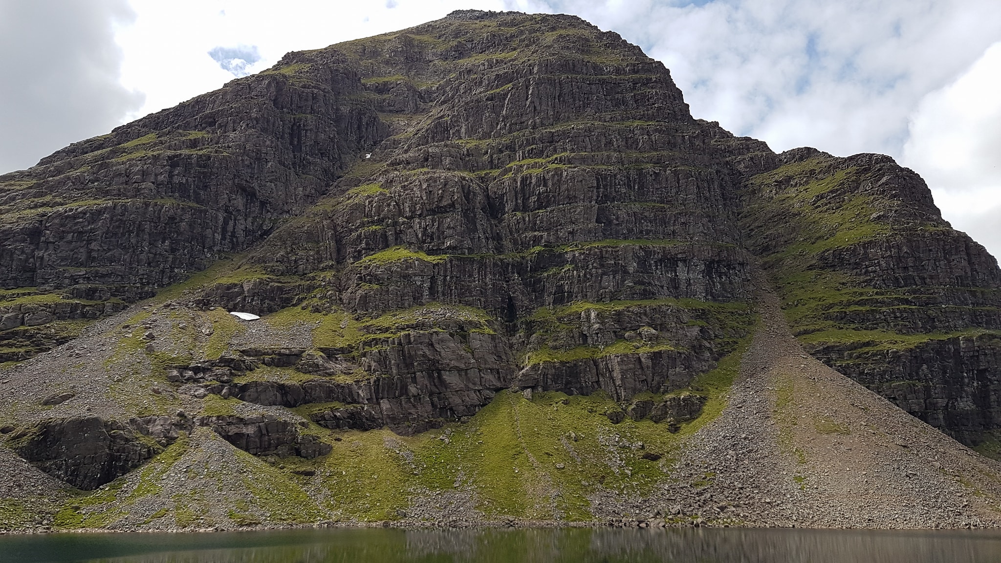
Coire Mhic Fhearchair beneath Beinn Eighe |
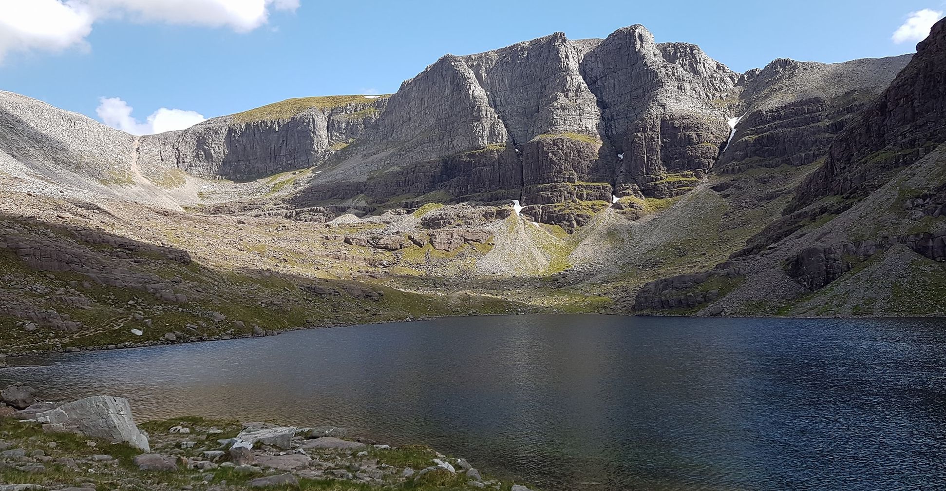
Coire Mhic Fhearchair beneath Triple Buttress of Beinn Eighe |
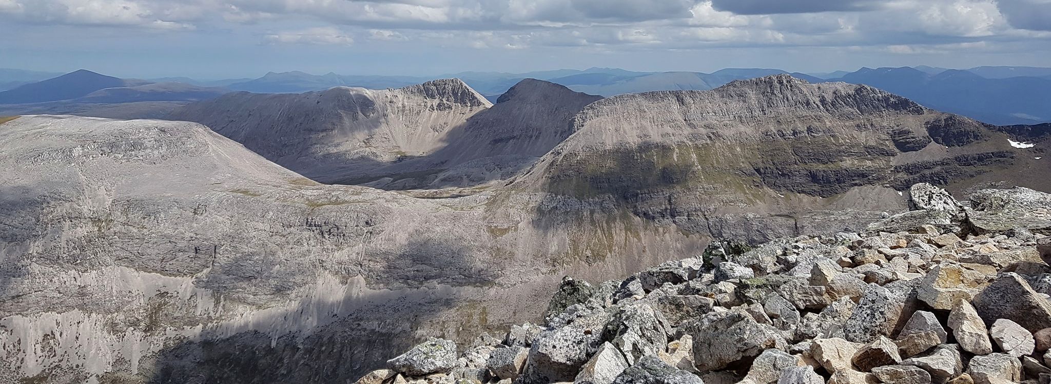
Beinn Eighe from Ruadh-stac Mor |
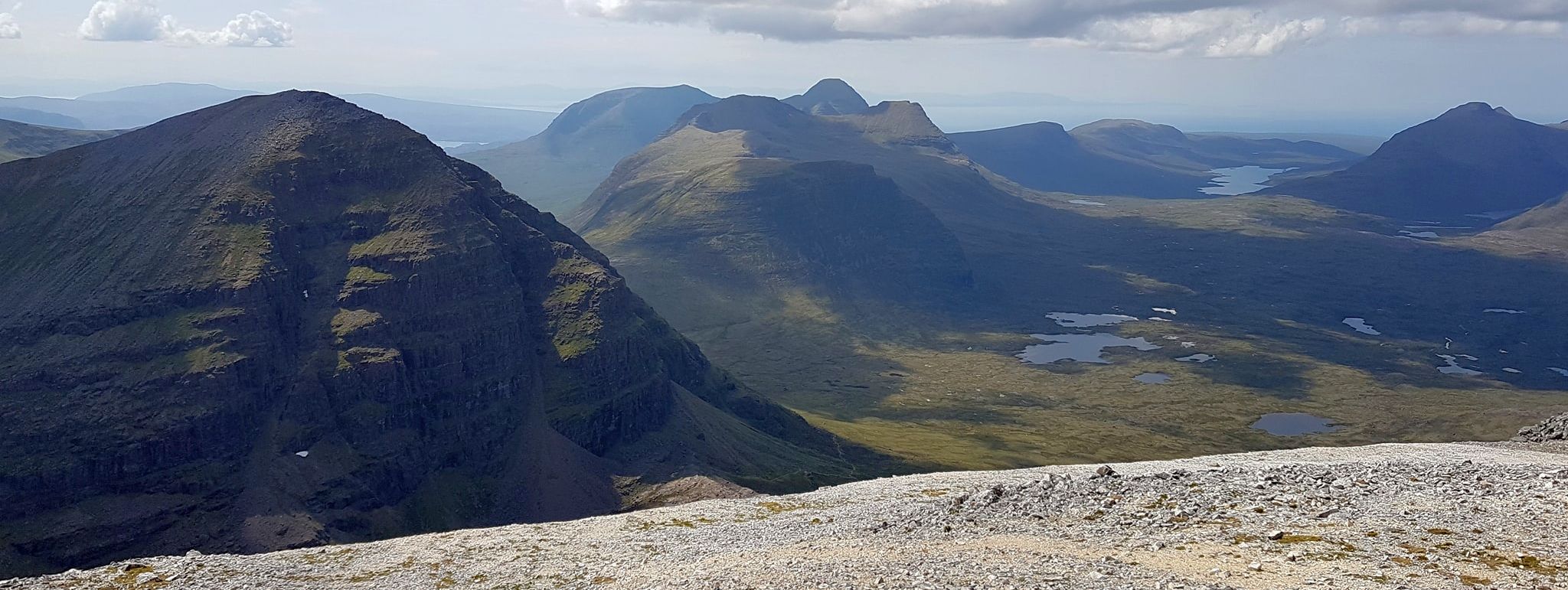
View from Ruadh-stac Mor on Beinn Eighe |
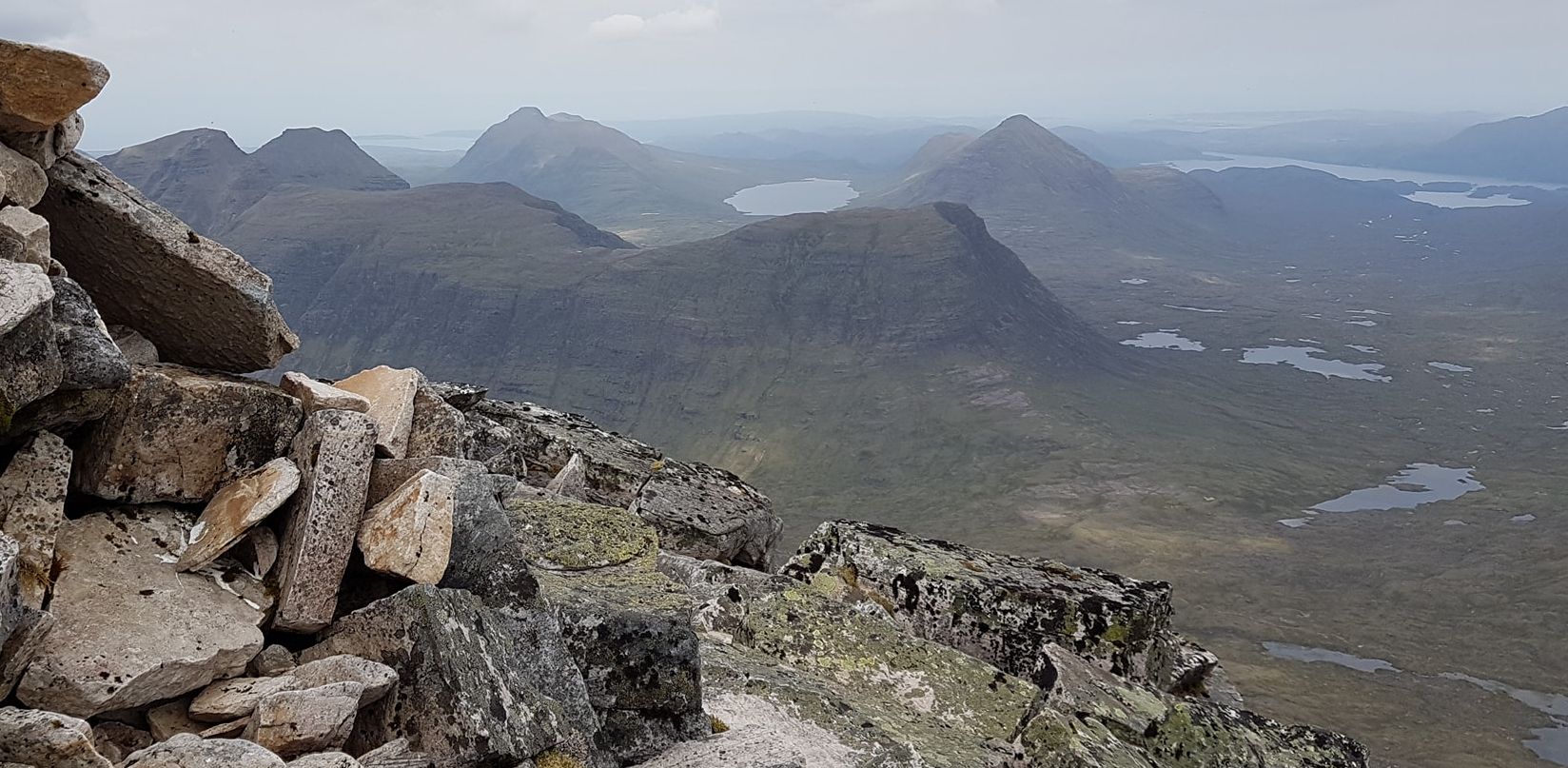
View from Beinn Eighe |
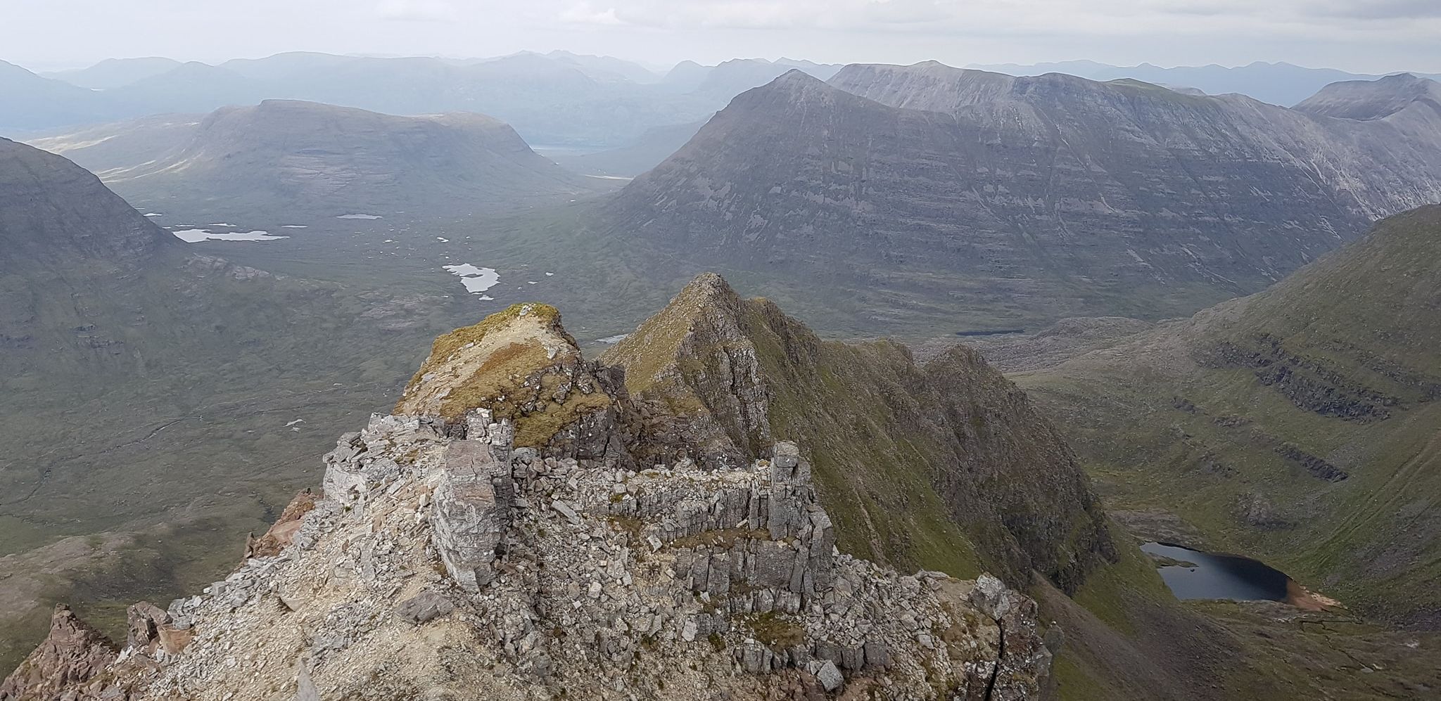
View from Beinn Eighe |
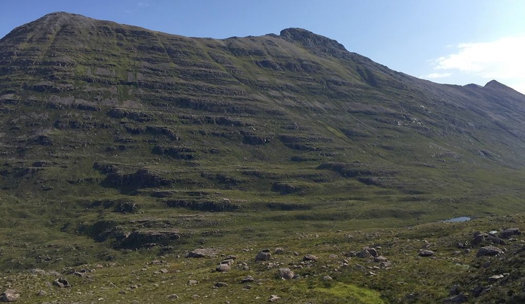
Beinn Eighe |
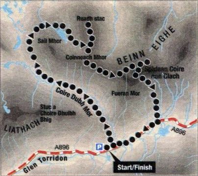
Route Map for Beinne Eighe |
Route Description for Beinne Eighe
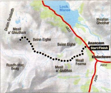
Route Map for Meall a' Ghiubhais |
MEALL a' GHIUBHAIS - ROUTE DESCRIPTION:
Location: Torridon
Map: OS Landranger 19
Distance: 8 miles ( 13km )
Time: 4-6 hours
Terrain: Moderate mountain walk
Sittin like twin portals to the delights of inner Torridon, two shapely Corbetts dominate the watershed between the Loch Maree basin and the
otherworldly landscape to the north of Beinn Eighe’s serrated ridgeline. One of those corbetts, Meall a‘ Ghiubhais ( the rounded hill of the pine tree ),
is among the finest viewpoints in the area. The other, Ruada stac Beag, is really a northern top of Beinn Eighe and can be climbed in a day along with Meall a‘ Ghiubhais.
Meall a‘ Ghiubhais might not have many trees on it today but there was a forest here for almost 8,000 years. The oldest trees still living in the Coille na Glas
Leitire down below are about 350 years old. Much of this ancient forest was probably lost to fire but some trees have survived and it's intriguing to think they
were mere saplings when Scotland’s last independent parliament met in 1707.
The open aspect of the pinewoods is a joy, as are the sprinklings of birch, rowan, bird cherry and wood hawthorn. On the wetter areas, the waterlogged folds,
you'll find willow and alder.
It's often been said that you get the best views of the big hills from the smaller hills, and that’s certainly the case with Meall a‘ Ghiubhais. The trail through
the Coille na Glas Leitir eventually links with an old pony track that climbs high into the Bealach Toll a‘ Ghiubhais.
This is a good place to ready yourself for the steep climb to the summit ridge. At the top you'll hopefully get views of the big Torridon hills, especially the
north-facing corries of Beinn Eighe, and across Loch Maree to the giants of Letterewe.
Close at hand lie Beinn Alligin, Beinn Dearg and Baosbheinn, pearls in this Torridonian crown, one dominated by the ridges, buttresses and corries of
Beinn Eighe, just across the bealach.
Route:
Start and finish at the SNH visitor centre at Aultroy on the A832, GR NH020630.
Follow the trails behind the centre and halfway round you'll find an unsignposted path leaving the main metalled trail in a W direction.
Follow the path as it climbs the hill, veers S and joins up with the old pony path that follows the Alit Sguabaidh towards the NE ridge of Beinn Eighe.
Follow the path on to the upper reaches of the Bealach Toll a‘ Ghiubhais then climb to Meall a‘ Ghiubhais, first in a N direction, to the foot of its summit slopes, then NW to the summit saddle.
Descend to the pony path and return to the start point.
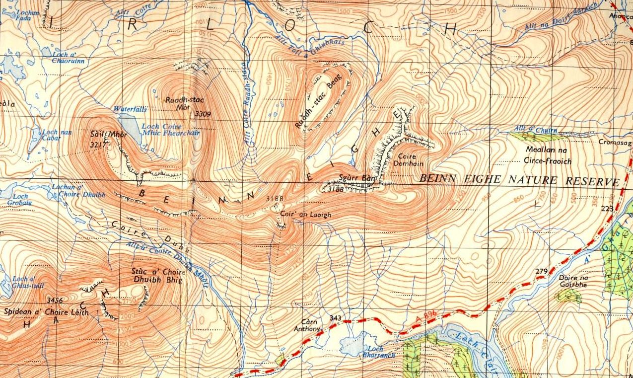
Map for Beinne Eighe and Coire Mhic Fhearchair |

Ben Nevis | Glencoe | Knoydart | Isle of Skye | Isle of Arran | The West Highland Way
The Eastern Highlands | The Central Highlands | The Southern Highlands | The NW Highlands
Guide Books & Maps - Scotland:-