   |
Isle of SkyeBLAVEN
|
   |
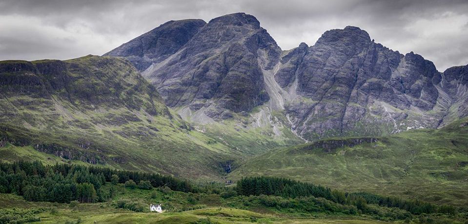
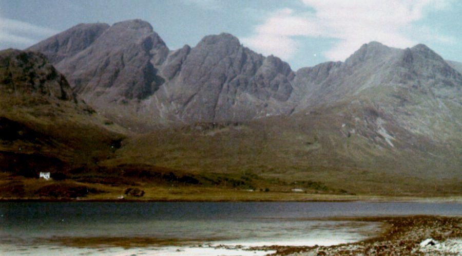 Blaven
( Bla Bheinn ) from Loch Slapin
The Blaven - Clach Glas Traverse a classic mountaineering ridge "walk" involving substantial amounts of "scrambling" not for mere pedestrians! |
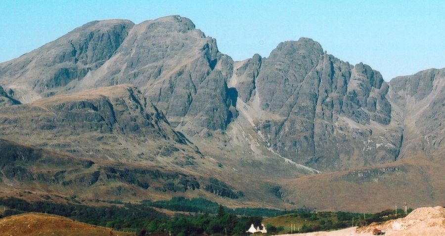 |
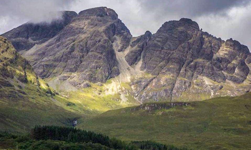 |
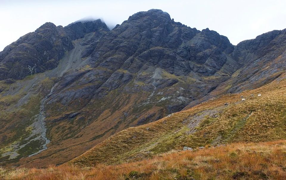 |
 |
 |
 |
 |
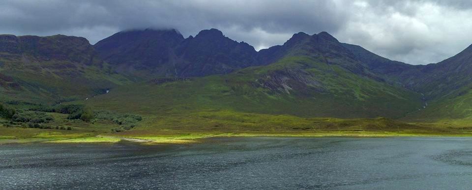 |
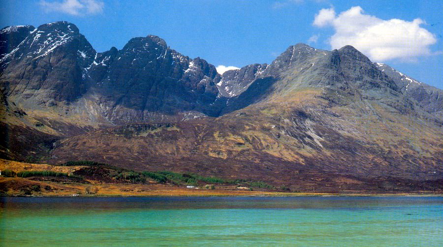
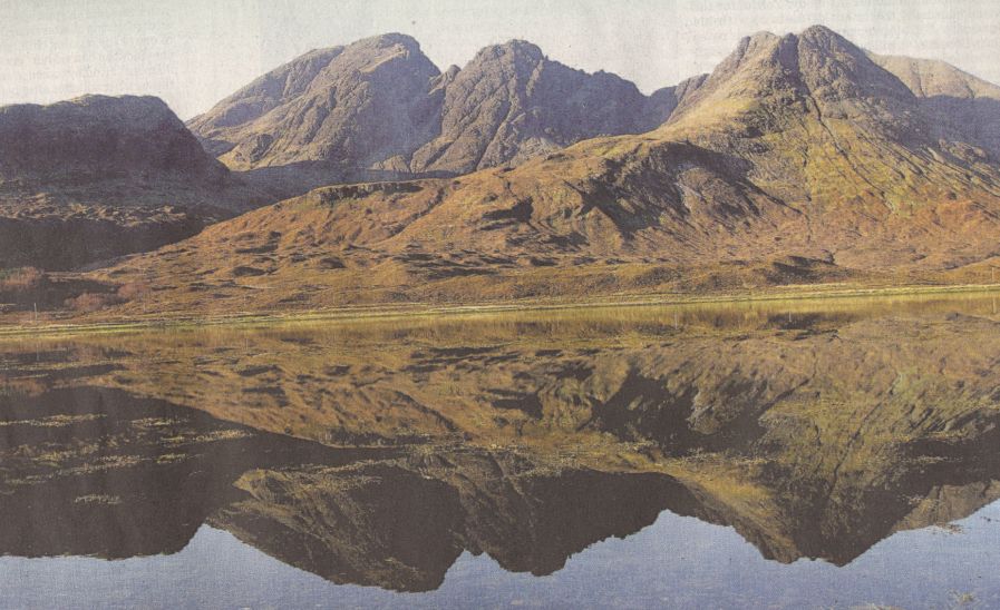
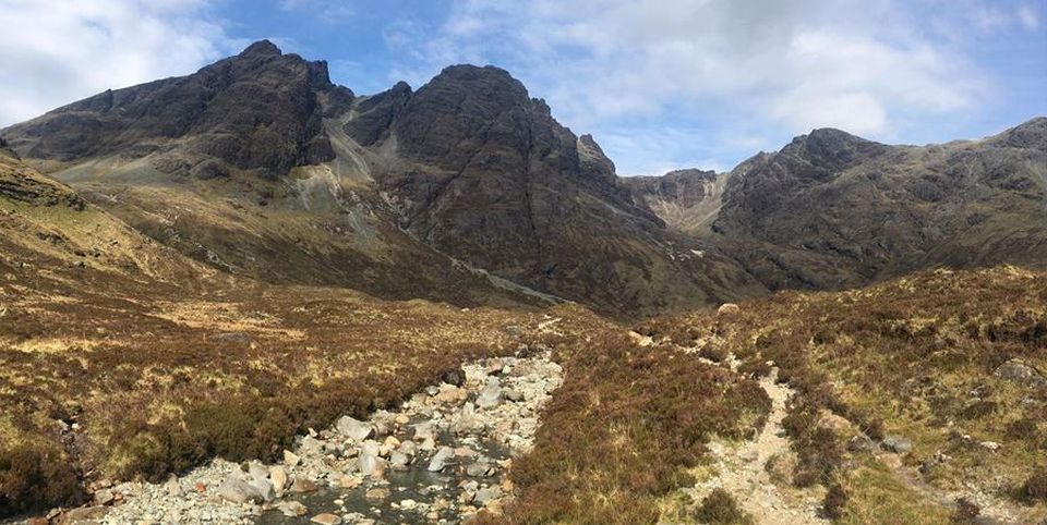
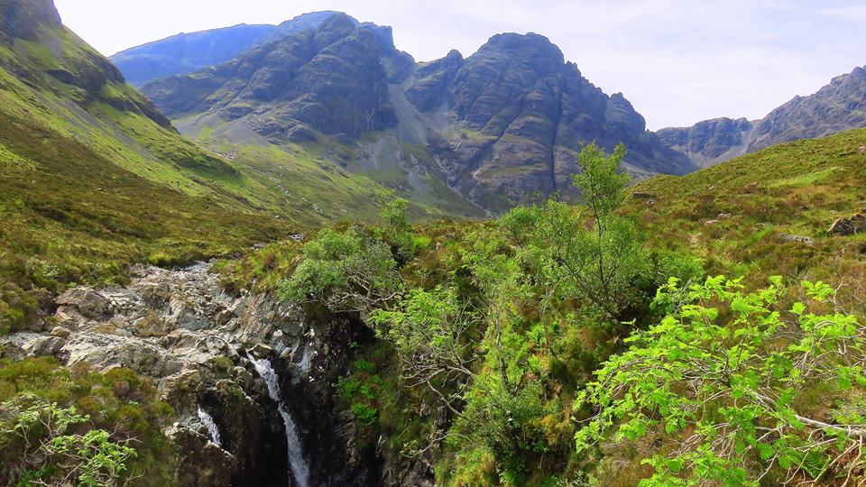
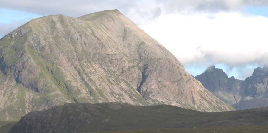
 Blaven
( Bla Bheinn )
and Black Cuillin from Loch Slapin |
 |
 |
 |
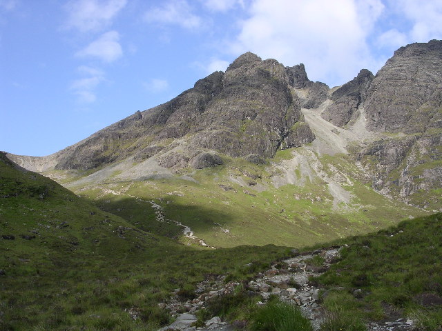 Blaven
( Bla Bheinn )
|
Trig
Point on Blaven
( Bla Bheinn )
|
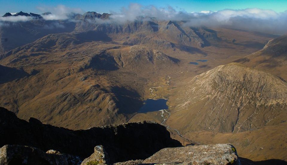 Skye
Ridge and Glen Sligachen
from Blaven ( Bla Bheinn ) |
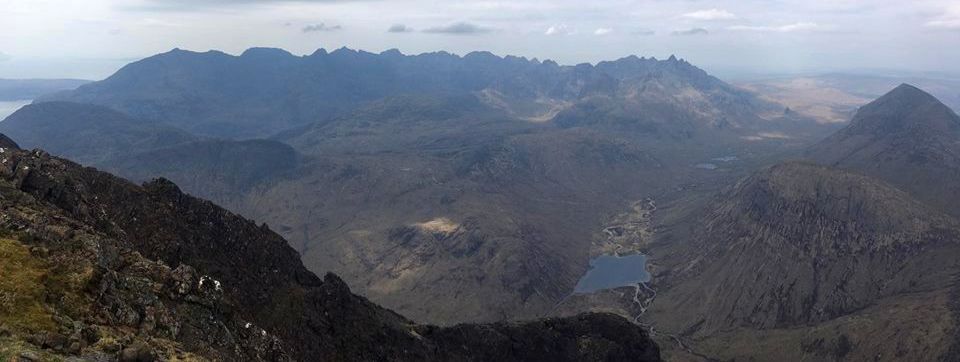 Skye
Ridge and Glen Sligachen
from Blaven ( Bla Bheinn ) |
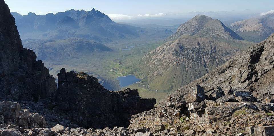 Skye
Ridge and Glen Sligachen
from Blaven ( Bla Bheinn ) |
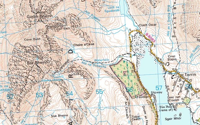 Map of
Blaven
( Bla Bheinn )
|
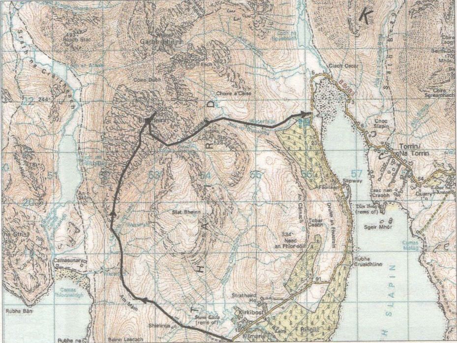 Map of
Blaven
( Bla Bheinn )
|
BLAVEN - ROUTE DESCRIPTION:
Location: Bla Bheinn, Skye
Grade: Serious mountain walk
Distance: 8 miles / 13km
Time: 6-8 hours
The south ridge of Bla Bheinn not only offers a great route to the south summit of the mountain, it avoids the
endless screes of the usual Munro-baggers route from Coire Uaigneich.
The views across to the Black Cuillin are astonishing nowhere else in all the mountain regions of
the British Isles can you witness such savage grandeur.
Bla Bheinn, 929m / 3045ft, is the most southerly of the Red Cuillin and not only offers a splendid platform
from which to gasp at the audacious outline of the Black Cuillin but also gives the opportunity to
appreciate the subtler curves of their pink-red neighbours.
From the south summit, the north summit, the true summit, is only a short distance
away. However, getting there is not straightforward. Between the two summits is a deep chasm, and
the descent and ascent to the main summit involved a rough scramble, a fairly delicate traverse on wet rock
and another short, but steep, climb to the summit cairn and trig point.
Indeed, you have to do it twice for the best descent route from the mountain is down the slopes of the south peak
to where a footpath takes you down to Coire Uaigneich and the path back to the John Muir Trust car park on the
shore of Loch Slapin. Alternatively return to the Camasunary track by following the Abhainn nan Leac
from the bealach at the head of Coire Uaigneich.
ROUTE PLANNER
Map: OS 150,000 Landranger sheet 32 ( South Skye & Cuillin Hills ); Harvey 1:25,000 Superwalker, The Cuillin
Distance: About 8 miles / 13km
Approx Time: 6-8 hours
Start: Car park on B8083 Elgol road just S of Kilrnarie ( GR: NG545172 )
Finish: Car park on B8083 near the head of Loch Slapin ( GR: NG562215 )
Public transport None to the start
Information: Portree TIC 01478 614906, www.isleofskye.com
Route:
Follow the track that runs W then N to Camasunary.
At a junction of paths continue N towards the S ridge of Bla Bheinn.
Cross the Abhainn nan Leac and climb onto the S ridge.
Follow ridge to S summit.
Cross deep defile between the two summits by descending a short distance down a scree filled gully then
traversing N to reach a narrow col.
Climb to main summit and trig point.
Return to S summit and descend SE down scree covered slopes.
Head NE into Coire Uaigneich and follow the eroded path down to the Allt na Dunaiche from where
the path improves significantly all the way beck to the Elgol road near the head of Loch Slapin.
Arran :: Glencoe :: Ben Nevis :: Knoydart :: West Highland Way
Southern Highlands :: Central Highlands :: Eastern Highlands :: NW Highlands
Worldwide Mountaineering :: Adventure Travel :: Site Index