  |
World Mountain WalksPacific Crest Trail
|
  |
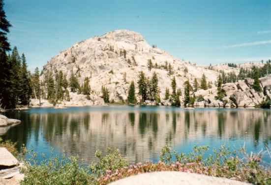
Photographs of the Pacific Crest Long Distance Hiking Trail:
Forester
Pass
in Kings
Canyon N P
in the Sierra Nevada,
Goat Rocks Wilderness,
John Muir Wilderness, Glacier Peak Wilderness,
Tuolumne Meadows in
Yosemite National Park,
 The
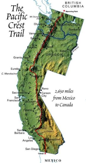
Pacific Crest Trail ( Pacific Crest National Scenic Trail )
is a long-distance mountain hiking and equestrian trail that runs from Mexico through the USA to Canada It follows the highest portion of the Sierra Nevada and Cascade Range that runs parallel to the Pacific Ocean. The Pacific Crest Trail is 2,650 miles ( 4,240km ) long and ranges in elevation from just above sea level at the Oregon-Washington border to 13,153ft ( 4,009m ) at Forester Pass in the Sierra Nevada. |
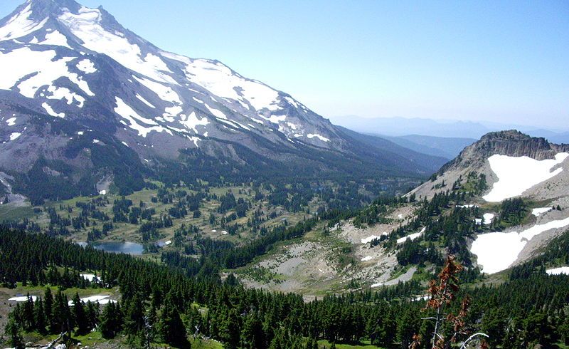
 Mount Jefferson and
Jefferson Park
|
 Map of Pacific Crest Trail
( Note: Click here or on map for larger format copy ) |