  |
The Eight-thousandersNanga Parbat |
  |
|
The Eight-thousandersNanga Parbat |
|
 |
|
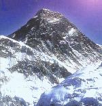
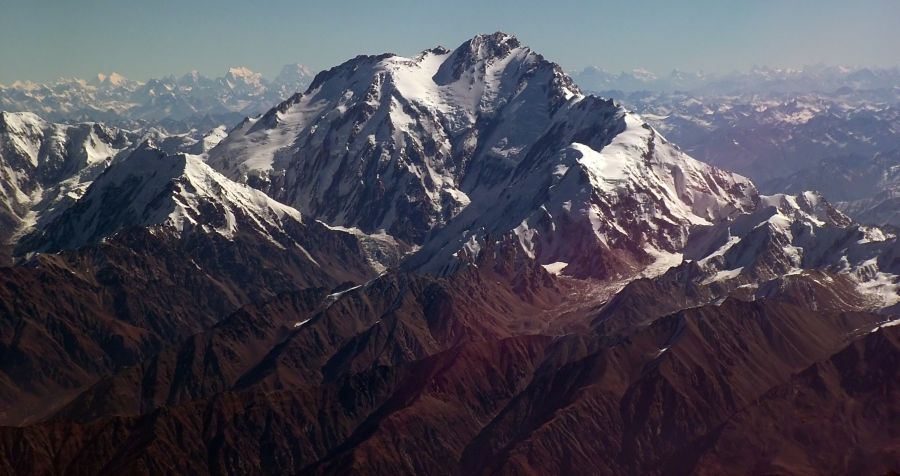
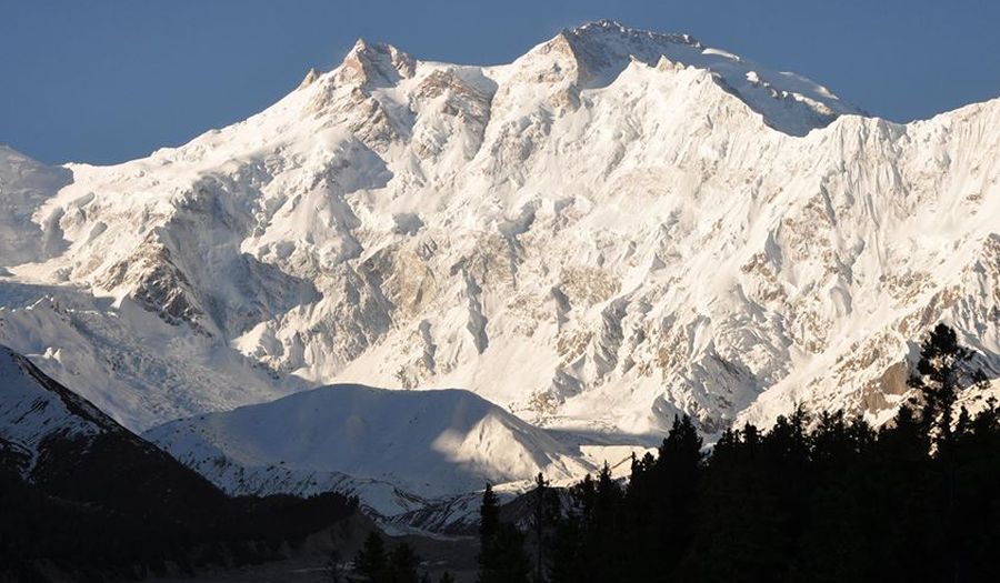
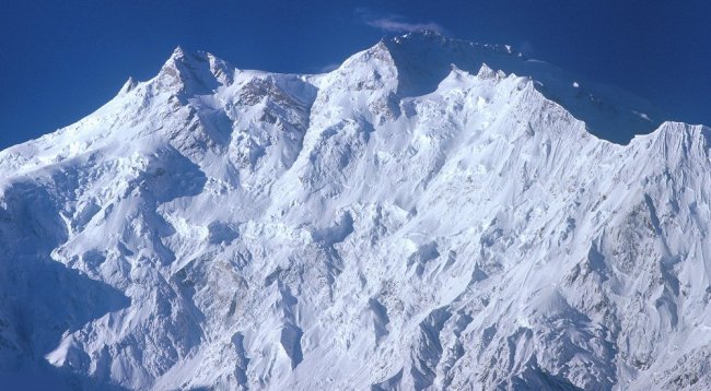
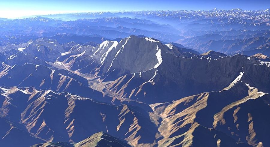
| Aerial
view of Nanga Parbat (
8125m ) known
as the "Killer
Mountain" or "Naked Mountain" , Nanga Parbat is the third-mostdangerous 8,000m peak with a death rate of 22.3% of climbers dying on the mountain. By 2012, there were at least 68 climber deaths It is the world's ninth highest mountain, the westernmost Eight-thousander and
the second highest mountain in Pakistan. |
 |
|
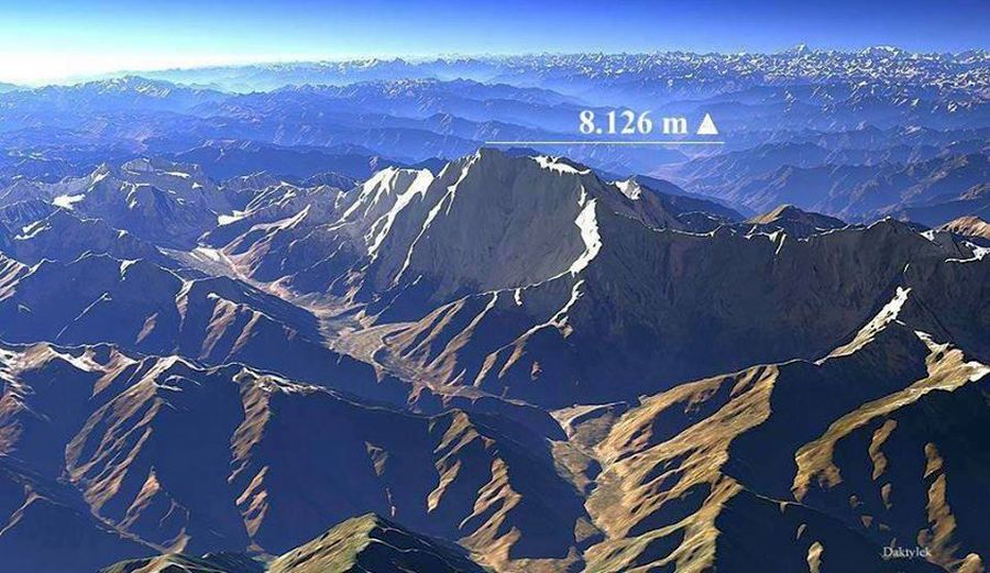
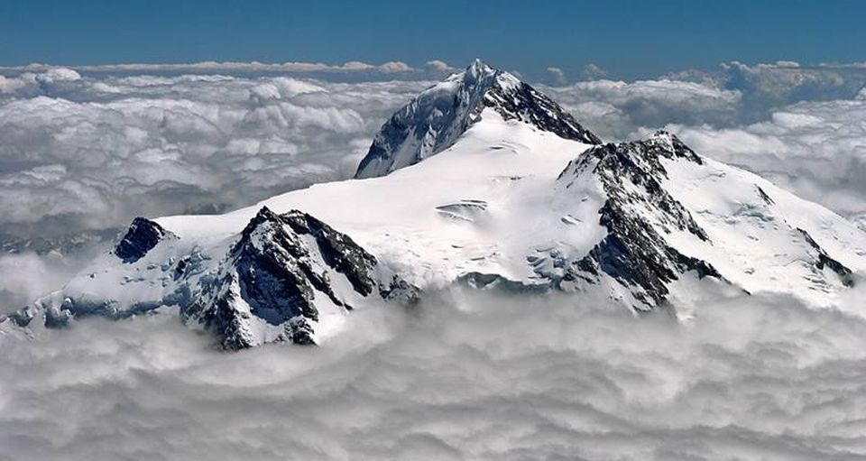
| Aerial
view of Nanga Parbat ( 8125m ) |
 Nanga
Parbat (
8125m )
|
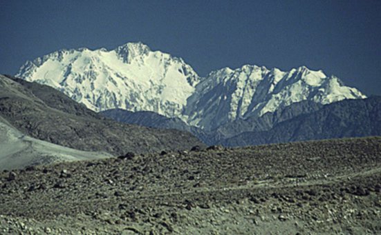
 Nanga
Parbat
|
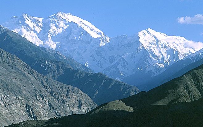
 Nanga
Parbat
|
 Nanga
Parbat
|
 Nanga
Parbat (
8125m )
|
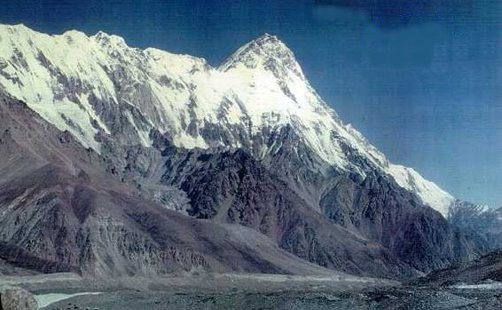
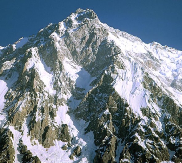
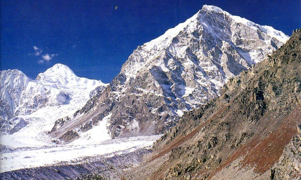
 Diamir
Face
of Nanga Parbat ( 8125m ) |
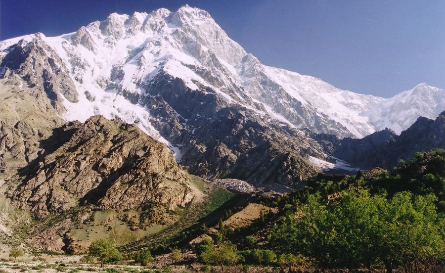
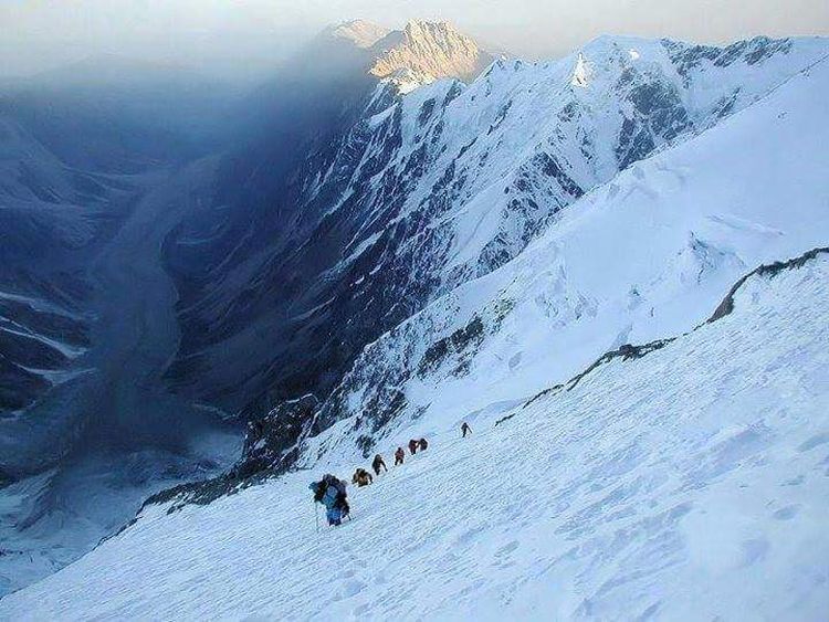 On
the Diamir Face
of Nanga Parbat |
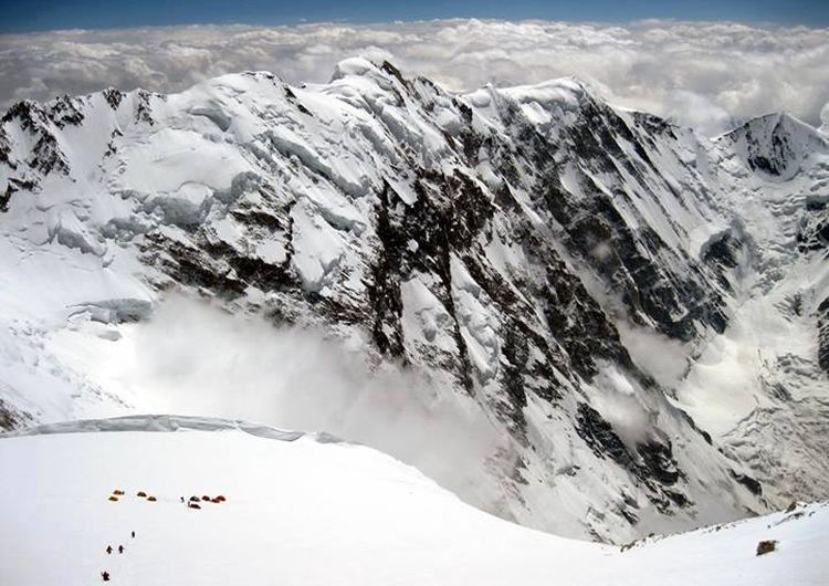 Camp
IV
on the Diamir Face of Nanga Parbat |
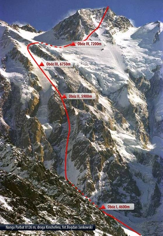
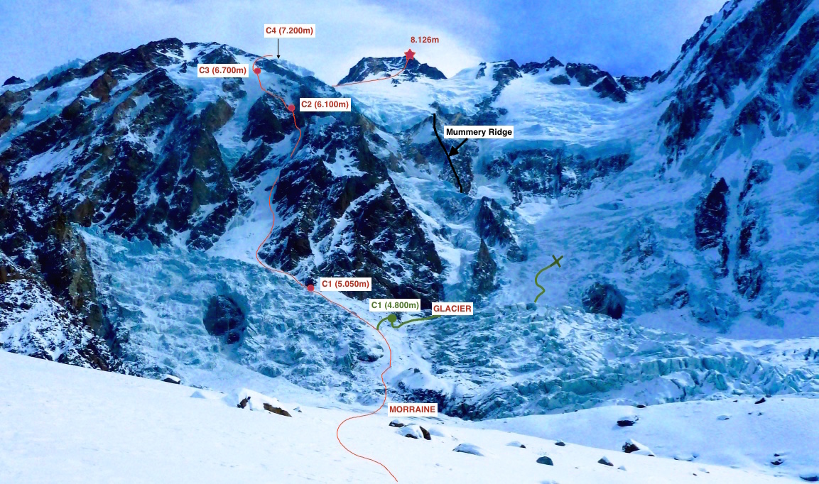
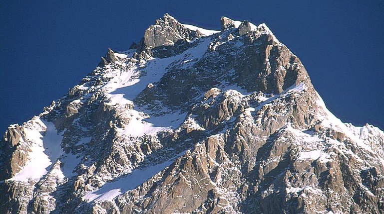
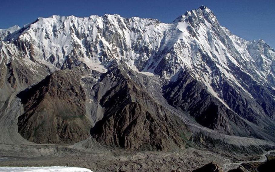
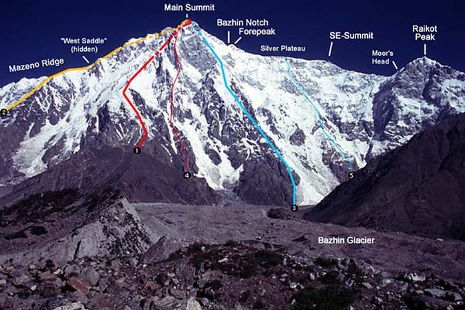
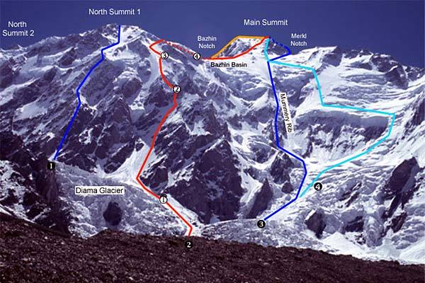 Ascent
routes
on the Diamir Face of Nanga Parbat |
 |
|
| Ascent
routes on Nanga Parbat |
|
on Nanga Parbat |
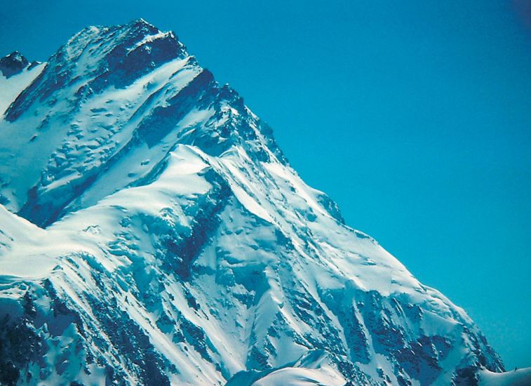
 Nanga
Parbat (
8125m )
|
|
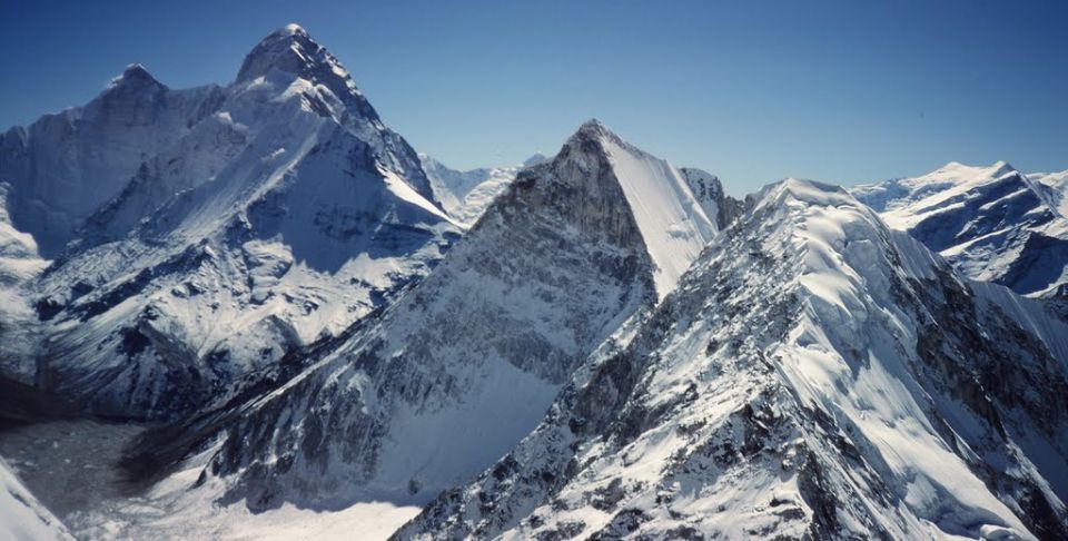
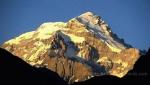
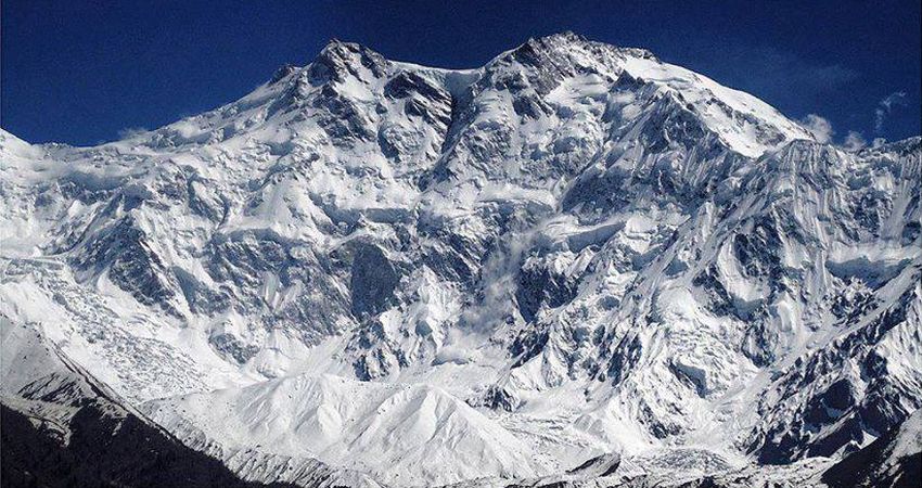
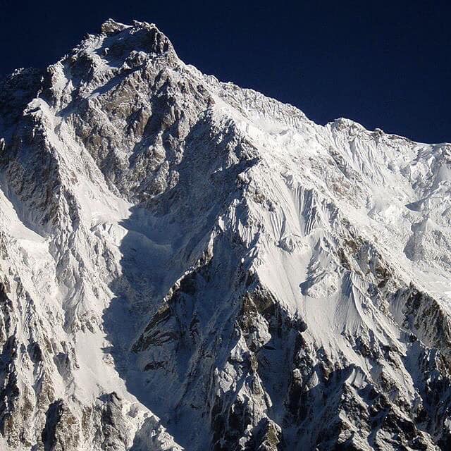
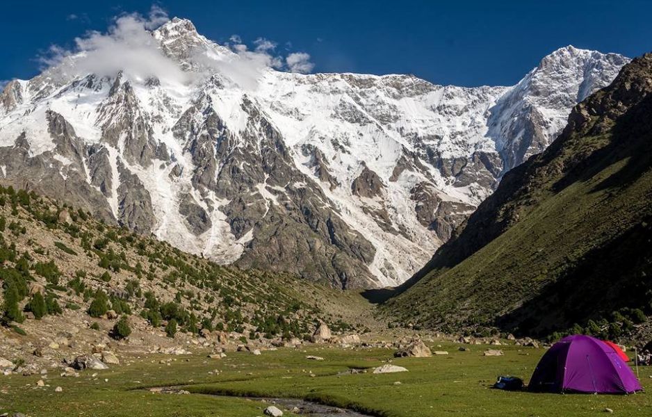
Rupal Face of Nanga Parbat ( 8125m ) The highest mountain face in the world: the Rupal Face rises 4600m / 15,000ft above its base. |
 Rupal Face of Nanga
Parbat
|
 Rupal Face of Nanga
Parbat
|
 Rupal
Face of Nanga Parbat
|
 Rupal
Face of Nanga Parbat
|
 Nanga
Parbat from Rupal BC
|
 Rupal
Peak
beneath Rupal Face of Nanga Parbat |
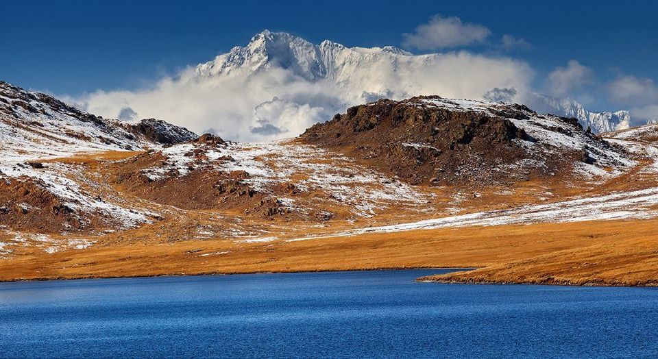 Rupal
Face
of Nanga Parbat from Sheosar Lake |
 |
|
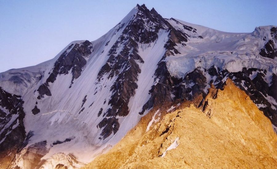
| Nanga Parbat Summit |
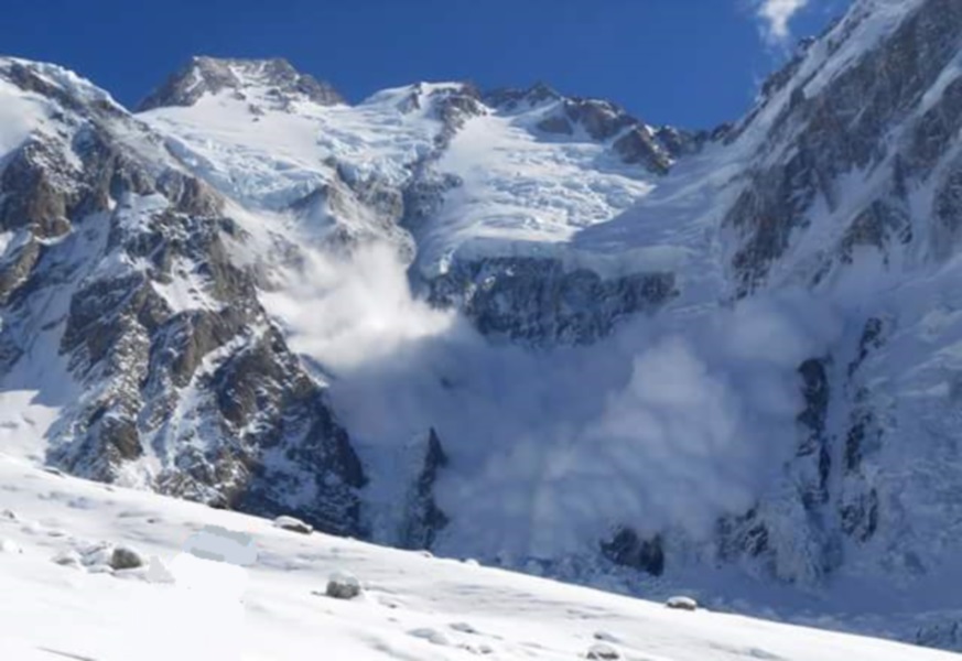 Avalanche
on Nanga Parbat
|
 |
|
| Aerial view of Nanga Parbat |
 |
|
| Aerial view of Nanga Parbat |
 |
|
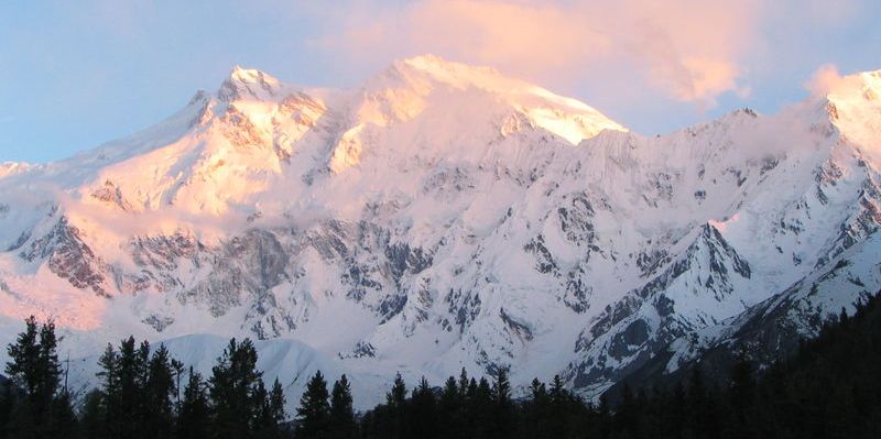
| Sunset on Nanga Parbat |
 |
|
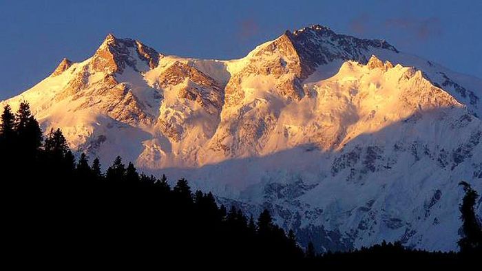
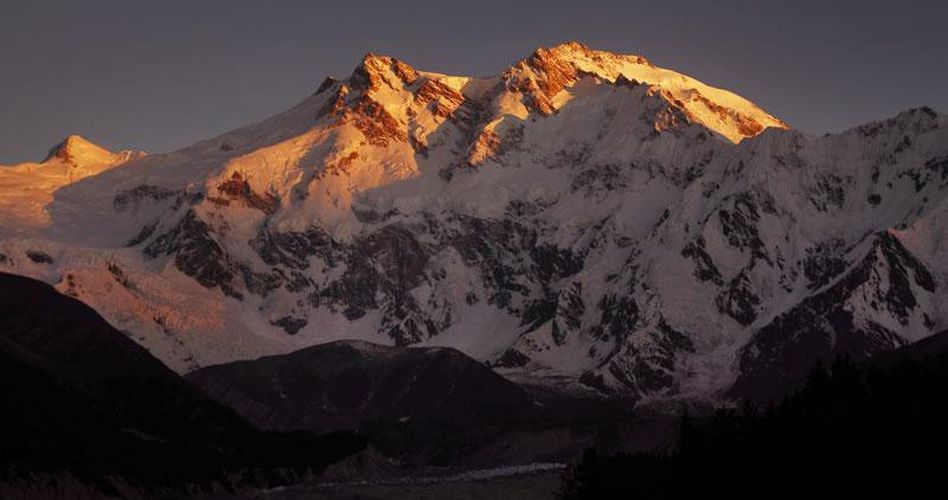
| Sunrise on Nanga Parbat |
 |
|
| Sunrise on Nanga Parbat |
 |
|
| Nanga Parbat |
| Summit | Height |
|---|---|
| Nanga Parbat | 8125 m |
| Nanga Parbat, Schulter | 8070 m |
| Nanga Parbat Südgipfel | 8042 m |
| Nanga Parbat Nordostgipfel | 7910 m |
| Nanga Parbat Nordgipfel | 7815 m |
| Nanga Parbat Nordgipfel II | 7785 m |
| Nanga Parbat Silberzacken | 7597 m |
| Nanga Parbat Ostgipfel | 7530 m |
| Rakhiot Peak | 7070 m |
 |
|
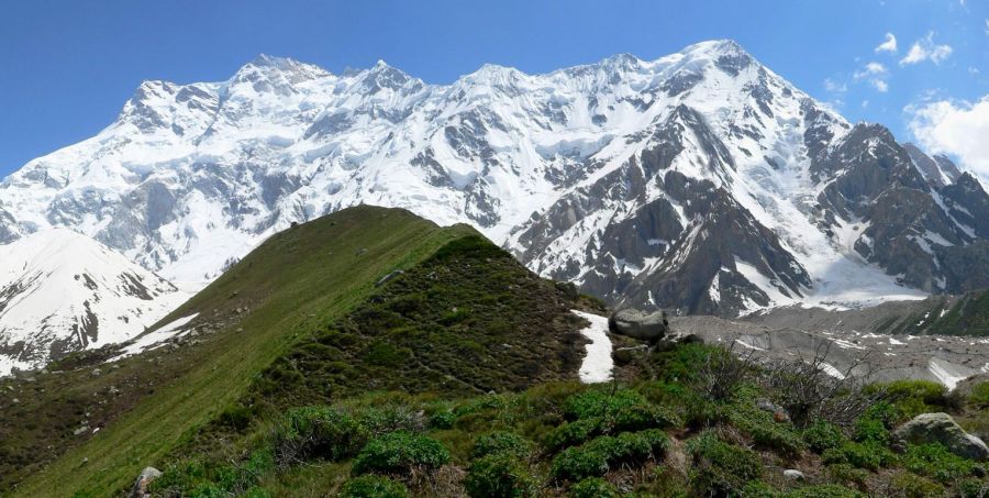
| Approach to Nanga Parbat |
 |
|
| Nanga Parbat Rupal Face |
 |
|
| Nanga Parbat Rupal Face |
 |
|
| Nanga Parbat Rupal Face |
 |
|
| Ascent routes on Nanga Parbat |
 |
|
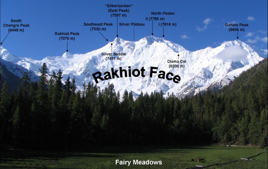
| North ( Rakhiot ) Face of Nanga Parbat |
 |
|
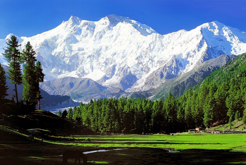
| North
( Rakhiot ) Face of Nanga Parbat from Fairy Meadows |
 |
|
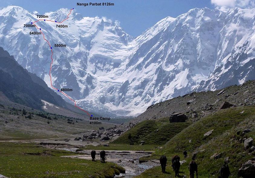
| Ascent Route on Nanga Parbat |
 |
|
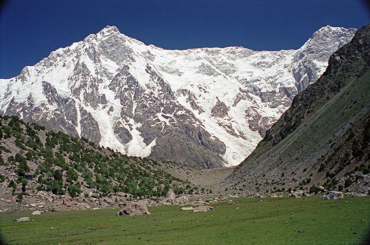
| North
( Rakhiot ) Face of Nanga Parbat from camp in Fairy Meadows |
 |
|
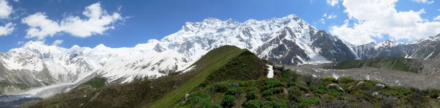
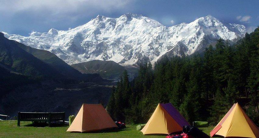
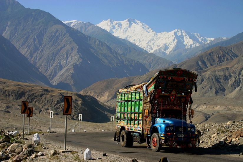
| Pakistan Karakoram near Fairy Meadows |
 |
|
| Nanga
Parbat from the Karakoram Highway |
 |
|
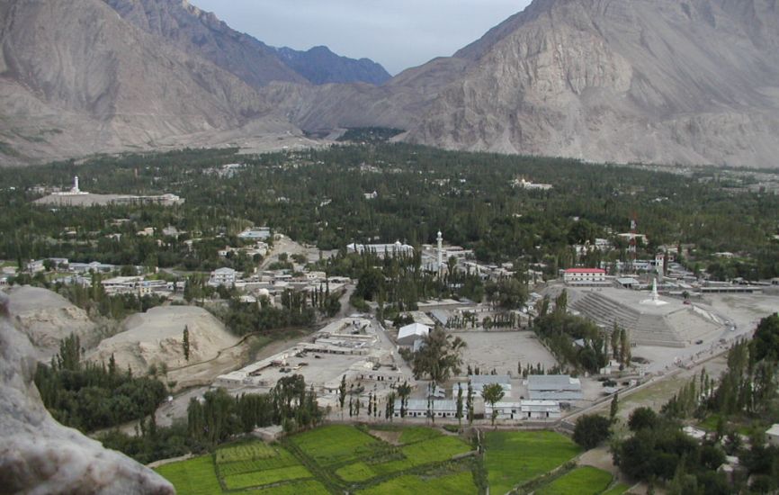
| Skardu Skardu is in Gilgit–Baltistan in northeastern Pakistan in the Skardu Valley at an altitude of nearly 2,500m ( 8,200ft ) at the confluence of the Indus and the Shigar River. Skardu is the main centre for trekking and mountaineering in the Pakistan Karakoram |
Maps of the Pakistan Karakoram:-
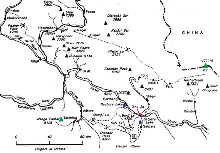 Location Map of Nanga
Parbat
Karakoram Map |
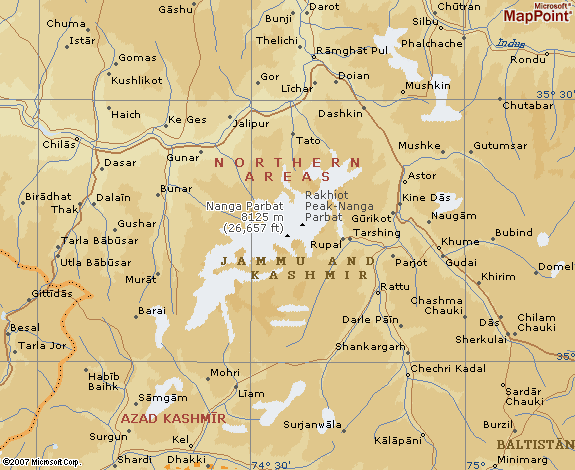 Location Map of Nanga
Parbat
|
 | Gasherbrum
I
| Broad
Peak | Gasherbrum
II
| Gasherbrum
I
| Broad
Peak | Gasherbrum
IIWorldwide Mountaineering :: Adventure Travel :: Site Index