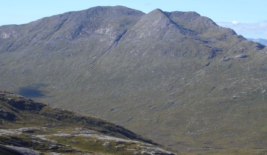
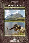
Beinn
Sgulaird ( 3074ft, 937m )
from Loch Creran
|
|
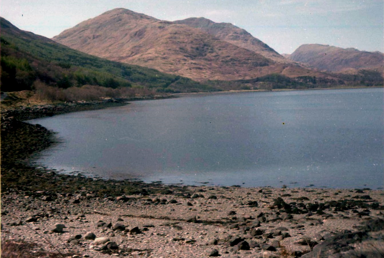
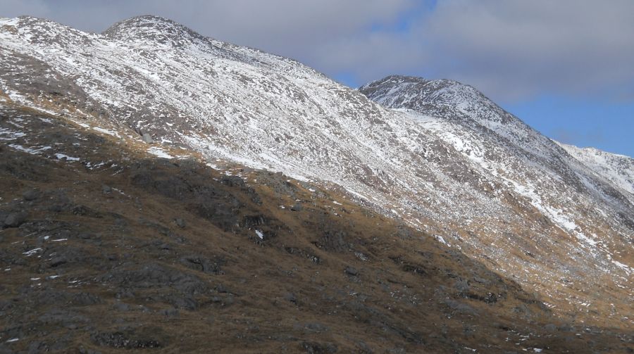
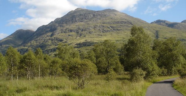
Beinn
Sgulaird ( 3074ft, 937m )
from Loch Creran
|
|
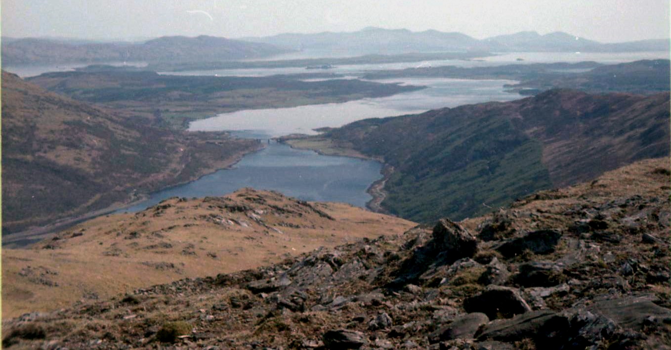
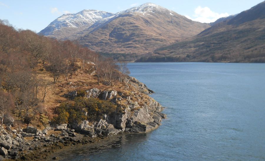
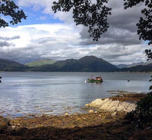
Loch
Creran
from Beinn
Sgulaird
|
|
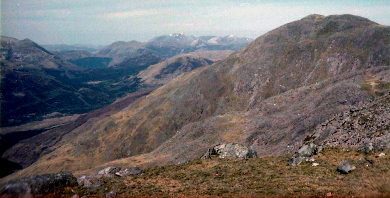
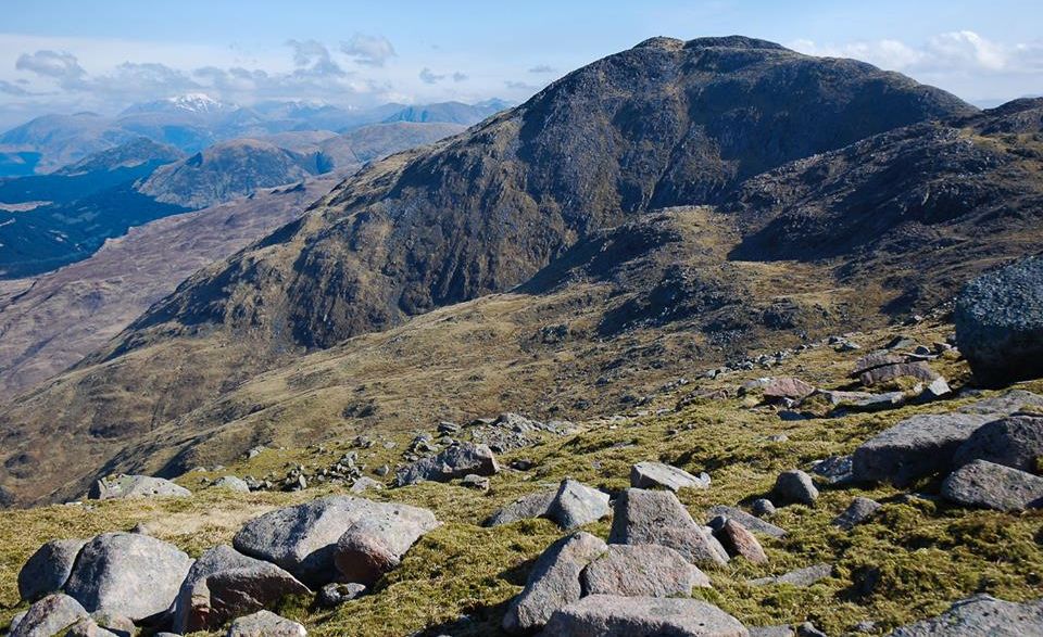
Beinn
Sgulaird
from the west
|
|
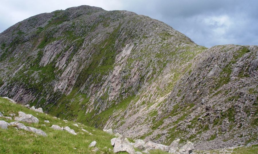
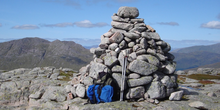
Rocky
summit ridge of Beinn Sgulaird
|
|
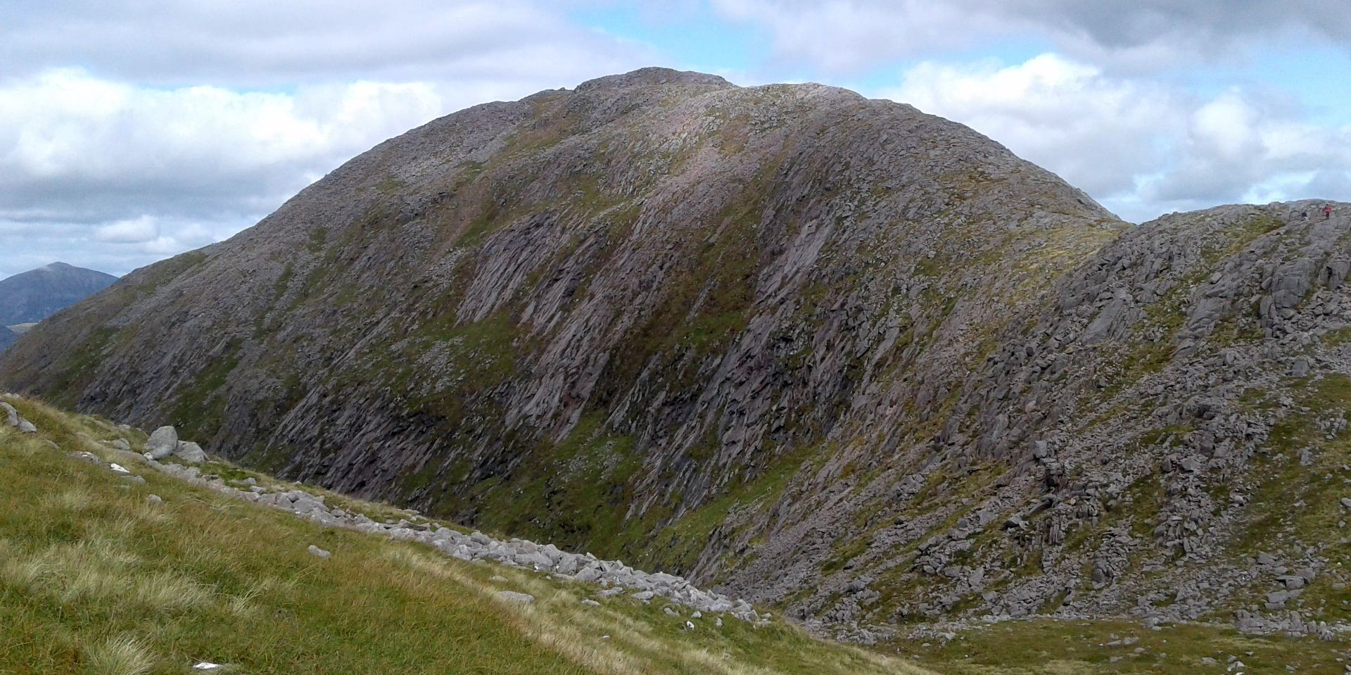
Rocky
summit ridge of Beinn Sgulaird
|
|
Beinn
Sgulaird
|
|
Loch
Creran
|
|
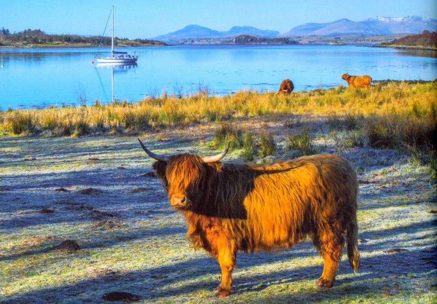
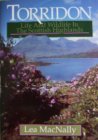
Highland
Cattle at Loch Creran
|
|
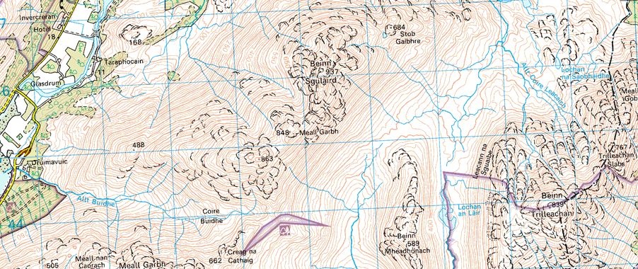
Map
of Beinn Sgulaird
|
|
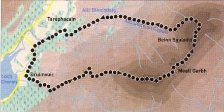
Route
Map for Beinn Sgulaird
|
|
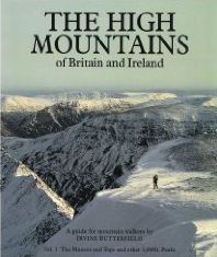
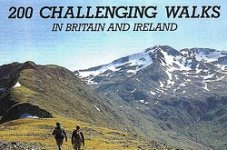
BEINN SGULAIRD -
ROUTE DESCRIPTION:
Location: Glen
Creran, Argyll
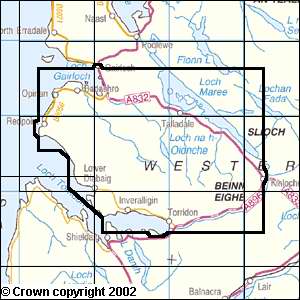
Map: US Landranger 50
Distance: 9 miles ( 14.5km )
Time: 5-6 hours
Terrain: tracks and paths
Beinn Sgulaird lies
at the south-western corner of an extensive area of granite stretching
from the western flanks of Ben Alder
to Ben Cruachan.
Rannoch Moor once covered by an ice sheet, dominates the northern half,
in contrast, the southern section is marked by high.craggy and complex
peaks such as Starav,
Albannaich and Cruachan, scoured from
the bedrock as the glaciers radiating from the ice sheet ploughed
towards the sea. Slightly west of the main Etive glacial trench, Beinn
Sgulaird
is neither as high nor as complex as its cousins, hut it is rough and
rocky and offers an excellent single-hill expedition from the head of
Loch Creran.
Follow the road up Glen Creran to the head of the loch past Druimavuic
to park at a wide layby on the right, just beyond the second entrance
to the house. Walk back towards this entrance, but turn lefi before it
on to a rough track with electricity poles. The track leads through
woods behind the house to open hillside where it swings left then back
right
to cross the lower part of the western ridge of point 863m.
Leave the track here for a cairned path and follow it directly up the
ridge. Climb up and south round point 488m, then north skirting a small
band of crags above the col. Regain the path at the col’s
high point and continue up the ridge to the summit of point 863m.
From here the going is much rockier as you traverse the rim of the
corrie to gain the top of Meall Garbh ( 848m ).
Further rocky ground gains the south ridge, which leads in a series of
granite slabs and steps to the large summit cairn ( 937m ).
You can retrace your steps or make a contouring descent by the pathless
west face, the latter being recommended only in good visibility as some
of the ground is complex and rocky.
Continue north on the path towards a rocky point ( 909m ), then drop
west off the crest of the ridge into the grassy gully leading west from
the col between the two summits. Follow this until you can
turn south-west, aiming for the head of the loch, and traverse mostly
glassy slopes between the bands of crags and scree. Once clear
of the rocks follow grassy, birch-scattered slopes towards a walled
sheepfold, gained by crossing the Allt Coire na Capull. Cross the
smaller Allt
Bliochdaig beyond, from where animal paths and ATV tracks lead west to
a track leading to the access road south of Taraphocain. Follow
this west beside the River Ure to join the main road some 700m north of
the parking spot.
Glencoe
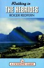
| Knoydart
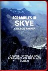
| Isle
of Skye
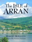
| Isle of Arran
| The
West
Highland Way
The
Eastern
Highlands | The Central
Highlands
| The
Southern Highlands | The NW Highlands


Google
Analytics
Google Analytics
extremetracking
extremetracking
Sitelock caingram.com

Sitelock
Sitelock caingram.info

Sitelock